


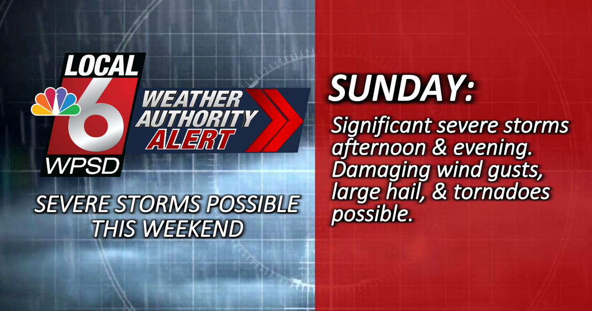
On Sunday we will see a very warm to hot afternoon, with highs in the low 90s and rising humidity. Late in the morning and early afternoon a strong layer of warm air will pass through. This will quickly destabilize the atmosphere and increase wind shear, creating a suitable environment for storm formation in the afternoon and evening. A cold front will move through late overnight, ending the severe threat before sunrise Monday. All hazards are possible, including damaging winds, very large hail and tornadoes. Some of the larger hail could reach a diameter of up to two inches and a strong tornado or two cannot be ruled out given the highly unstable environment.
With a busy holiday weekend ahead, anyone planning outdoor activities should keep a close eye on the weather forecast. Make sure you have reliable ways to get alerts when you’re outside, and know where to take shelter if storms threaten your area. Download the free WPSD Radar app for alerts wherever you are. If you’re headed to the lake or campsite, make sure you have a NOAA weather radio on hand so you can get a second reliable way to get warnings.
Also remember that if you can hear thunder, you are close enough to see lightning. If a thunderstorm is approaching, move to a sturdy shelter and stay indoors for 30 minutes after the last sound of thunder.


