


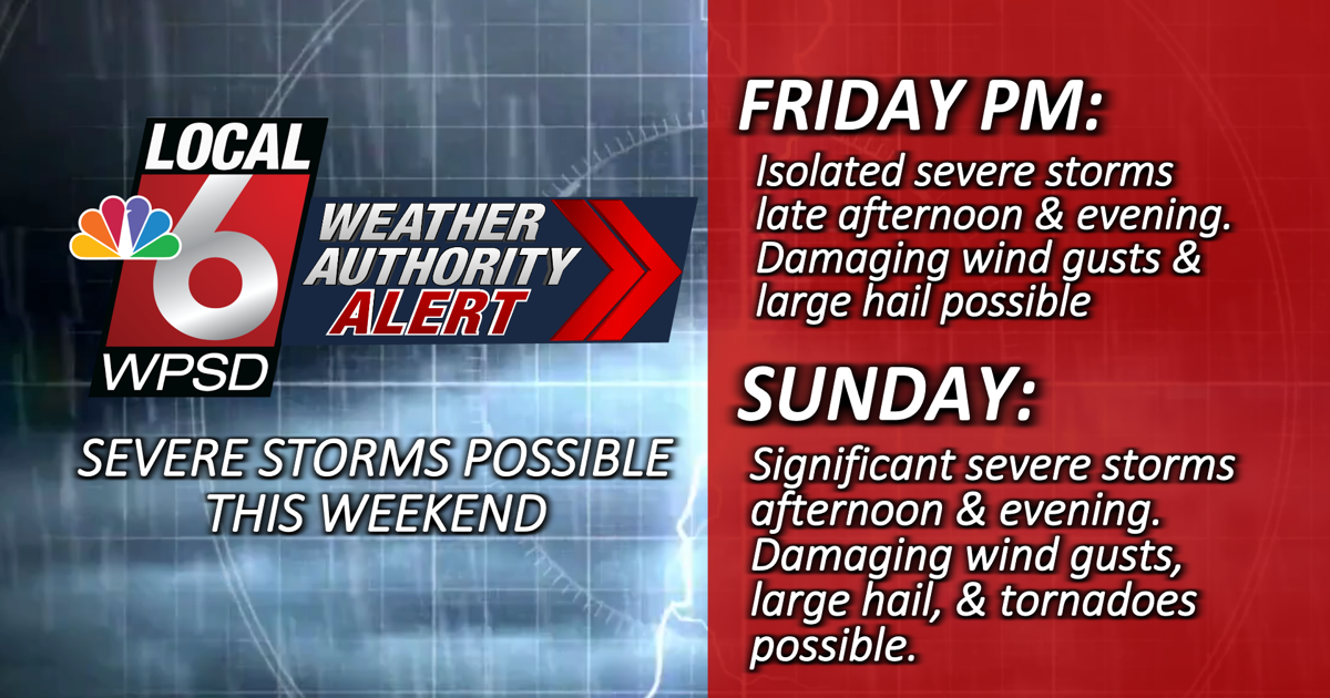
We have activated a Weather Authority Alert for Sunday as we continue to monitor the potential for a round of severe thunderstorms, most likely in the afternoon and evening.
Ahead of the Sunday system, we could also see some severe storms late Friday afternoon and evening. Isolated damaging winds and large hail would be the biggest threats.


On Sunday we will likely see a very warm afternoon, with highs in the low 90s and high humidity. This will set the stage for a very unstable atmosphere. A cold front approaching in the afternoon and evening should be a trigger for storm development. Any storms that develop could produce all forms of severe weather threats, including tornadoes, damaging winds and very large hail.
With a busy holiday weekend ahead, anyone planning outdoor activities should keep a close eye on the weather forecast. Make sure you have reliable ways to get alerts when you’re outside, and know where to take shelter if storms threaten your area. Download the free WPSD Radar app for alerts wherever you are. If you’re headed to the lake or campsite, make sure you have a NOAA weather radio on hand so you can get a second reliable way to get warnings.
Also remember that if you can hear thunder, you are close enough to see lightning. If a thunderstorm is approaching, move to a sturdy shelter and stay indoors for 30 minutes after the last sound of thunder.


