

That’s the message from the UN World Meteorological Organization (WMO), which said on Wednesday that the global average temperature for the calendar year to date is the highest ever recorded, 1.43 degrees Celsius above pre-industrial levels, and that there is still sea ice in Antarctica. at record low levels.
The WMO expects the warming El Niño climate pattern to persist until at least April 2024, contributing to further temperature increases.
WMO head Petteri Taalas said that as the impact of El Niño on global temperatures typically occurs in the year after its development next year “may be even warmer.”
Fuel the fire
Although El Niño occurs naturally, it is taking place in the context of climate change fueled by “increasing concentrations of heat-trapping greenhouse gases due to human activities,” Prof. Taalas pointed out.
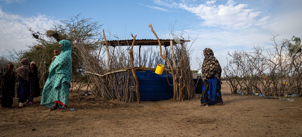
He warned that extreme weather events such as heat waves, drought, forest fires, heavy rains and floods will be worse in some regions.
“That is why WMO is committed to the Early Warnings For All initiative to save lives and minimize economic losses,” he added.
The previous warmest year on record was 2016, due to a “double whammy” of an exceptionally strong El Niño and climate change.
El Niño is caused by warm water rising to the surface and then released as extra heat into the atmosphere.
Since May this year, monthly mean sea surface temperature anomalies in the central-eastern equatorial Pacific have warmed significantly, from about 0.5°C above average to about 1.5°C above average in September, the WMO said.
These estimates cover the base period 1991-2020, using the latest version of the Optimum Interpolation Sea Surface Temperature (OISST) dataset.
The latest expert forecasts indicate a high likelihood of continued warming in the Pacific Ocean for at least the next four overlapping three-month seasons, through February-April 2024.
A strong El Niño does not necessarily mean strong local El Niño effects, the UN agency emphasizes.
“It is important to note that El Niño is not the only factor driving global and regional climate patterns, and the magnitude of El Niño indicators does not directly correspond to the magnitude of their effects. No two El Niño events are the same.”
By far the warmest October
It was by far the warmest October on record, 0.85°C above the 1991-2020 average, and 0.40°C above the warmest October before that. The global temperature anomaly was the second highest of all months in the ERA5 dataset, after September 2023, the report said.
October was the sixth month in a row that Antarctic sea ice extent remained at a record low for the time of year, with the monthly value 11 percent below average. Arctic sea ice extent reached its seventh lowest value in October, 12 percent below average.
El Niño conditions continued to develop in the equatorial Pacific, although anomalies remain smaller than those observed at this time of year during the development of the historically strong events of 1997 and 2015.
In October 2023, total precipitation was above average in most of Europe, the WMO said. Storm Babet hit Northern Europe, and Storm Aline hit Portugal and Spain, causing heavy rain and flooding.